Directions:
From Bredasdorp take the R319 to Struisbay/Agulhas
Just past the 10 km to Agulhas sign turn right at the sign to Elim on to a gravel road
Travel about 13 km until a sign Springfield and Brandfontein
Turn left and travel about 2 km until a sign SPRINGFIELD ESTATES
Turn right up to the houses
PLEASE DO NOT TRUST YOUR GPS BLINDLY AS IT MAY LEAD YOU VIA ROADS WHICH DO NOT EXIST ANYMORE
-34˚ 44’ 6.86”. +19˚54’ 25.01”
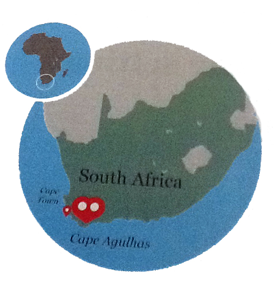
Take the N2 from Cape Town to Caledon, turn off on the R316 towards Bredasdorp (via Napier): Take the R319 from Bredasdorp towards Struisbaai. This is a tar road.
Now there are two ways, my wife’s and mine, guesss which one is shorter:
My way:
After approximately 3 km outside Bredasdorp a sign to the right shows:
Gansbaai, Elim, Die Dam. It is the first road right.
Then take the first left after about 8-10 km, I think there is a sign to Brandfontain.
Follow the road to the T junktion and turn left there.
Take the first Right. (After another approx. 3 km) A sign shows Brandfontein and Springfield
After approximately 3 km turn right.
at the sign of Springfield.
My wife’s way:
After approximately 3 km outside Bredasdorp a sign to the right shows: Gansbaai, Elim, Die Dam.
Ignore it.
After approximately 20 kilometers there is another sign: Gansbaai, Elim, Die Dam.
Turn right onto the dirt road.
After approximately 10.5 km turn left. There is a sign: Brandfontein, Springfield. Still all dirt road.
After approximately 3 km turn right. Sign to Springfield.
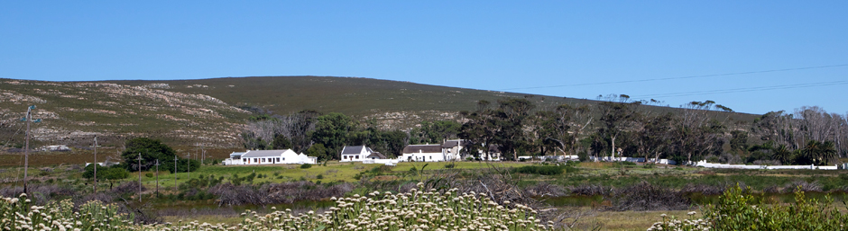
Drive all the way up the driveway – main house on the right
The coordinates:
USERS OF GPS PLEASE BE AWARE OF THE GPS LEADING ONTO ROADS NOT EXISTING ANYMORE!
34° 44’ 08” South 19° 54’ 25” East
Please contact one of the following numbers for any more information:
Springfield:
Marie Cell: 073 4309225 Piet Cell: 083 2545584